Like in Blast Theory's Can You See Me Now?, online participants in OnSite will be able to see the position of students on the project site on a map that mimics the physical environment. They will be able to talk to students on site depending on their distance to each other.
In the Landscape Architecture Studio, for example, students could be working on a project where they must generate a design concept for a local, abandoned high school in a low-income community. During the inventory phase of the design project, students need to gather as much physical, historical, demographic, and planning data as possible in order to assess the extent to which their design concepts are feasible at the site. In this scenario, teams of 4 students would divide up-two playing at stationary computers in the classroom and two being onsite at the abandoned high school. The classroom students will be able to see the location of the onsite students (they will see avatars) on their computer and will be able to communicate with them particular directions or instructions so that onsite students can access data at the site
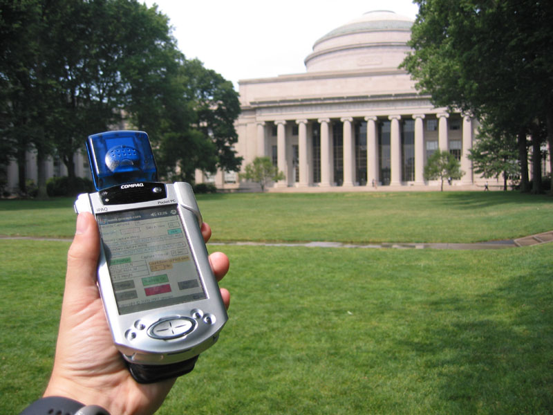
As in Environmental Detectives (Klopfer & Squire), students playing OnSite will be able to use their cell phones equipped with GPS to gather location-based clues spread out the environment, which will then be exchanged with students in the classrom for a completion of the task.
In this scenario, the onsite students would walk to particular GPS coordinates (given to them by the classroom students) and when arriving there, they would have access to clues that assist in the inventory gathering phase of the design. For example, classroom students might send onsite students to a particular part of the high school building where there is a "flood line" on the wall-indicating potential problems with future building. When onsite students arrive there, they will receive a clue (based on their arrival at the correct GPS coordinates). The clue could be a historical account of the hurricane causing the flood line, or perhaps a documentation of construction repairs that have been completed based on flood damage. The onsite students will then transfer this information back to the classroom students to compile in the overall inventory and then the cycle continues. Subsequent clues could include information about community demographics, zoning, materials of the building, or historical uses of the building.
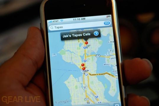
Students on the streets will also be able to see the relative position of online students and their own positions tracked with GPS on a map displayed on their cell phone screen.
This ability to see all players of the game necessitates collaboration among team members in order to access inventory data but also provides a healthy competition among teams as they all work on the same site. After a set time period, the game will be over and teams will be judged according to the extent to which their inventory is complete and thorough.